Hazardous Waters
Reefs, shoals, and winter fog made this coastline notoriously difficult to read at night; fixed lights turned guesswork into safer passage.
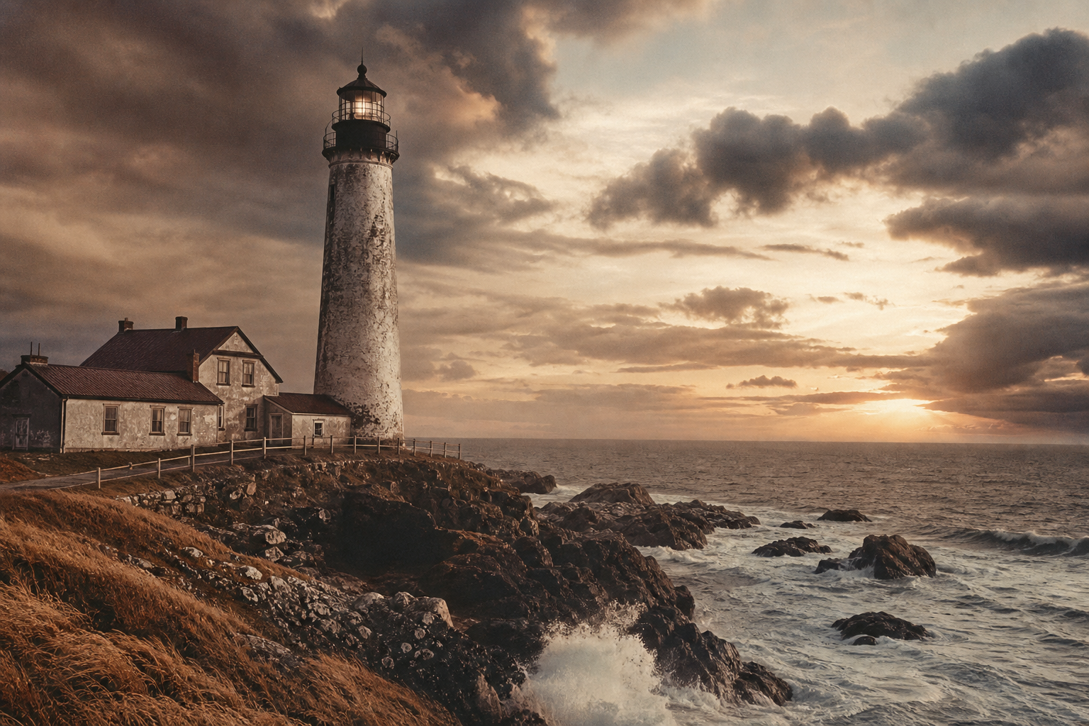
Explore archival photographs, lighthouse keeper stories, and preserved towers that trace the region’s maritime heritage.
Northern Coast Context
Before modern navigation, these headlands demanded dependable beacons—placed not for spectacle, but for survival, work, and continuity along the northern shore.
Reefs, shoals, and winter fog made this coastline notoriously difficult to read at night; fixed lights turned guesswork into safer passage.
Coal boats, grain carriers, and fishing fleets relied on predictable signals to time arrivals, avoid loss, and keep harbor routes open through rough seasons.
Villages hauled fuel, repaired lantern gear, and supported keepers year-round, making each tower a shared civic effort rather than an isolated outpost.
Regional chronology
A quick editorial timeline to orient the archive before you move into individual keeper stories, photo records, and tower locations.
Archive tag A-01
Late 1700s
Simple light stations began guiding small trading vessels through rocky coves and tidal bends.
Archive tag A-02
Early 1800s
Regular chart revisions and added coastal lights made passage safer for seasonal fishing fleets.
Archive tag A-03
Mid 1800s
Signal systems and stronger lantern engineering improved warning visibility during severe weather seasons.
Archive tag A-04
Late 1800s
Keeper homes and support buildings formed small communities tied closely to maritime routines.
Archive tag A-05
20th century onward
Local groups and archives helped stabilize surviving towers and document keeper-led oral histories.
Keeper Stories
Brief accounts from the northern stations, where routine weather logs and lamp rounds were shaped by solitude, storms, and long memory.
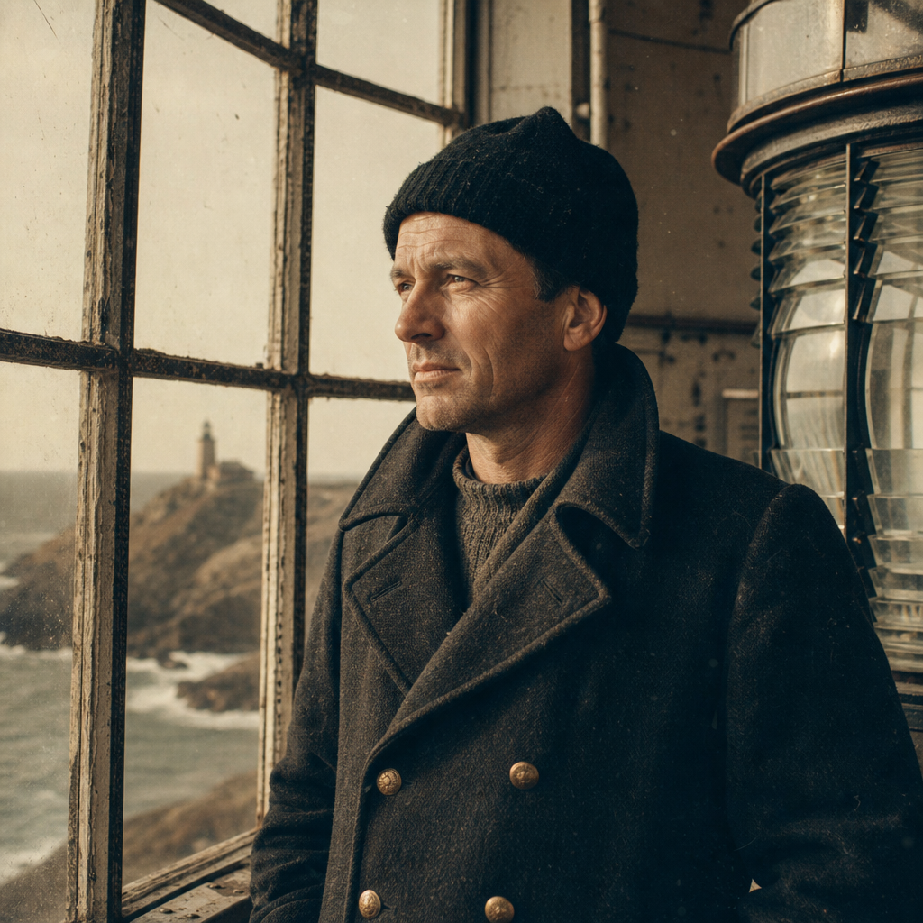
Elias Holm · 1898–1912
Holm recorded lamp trims every four hours through seven consecutive ice nights, noting how the bell buoy was often the only human sound between dusk and dawn.
58°41'N · Loghouse Point
“When fog closes the headland, you keep the lamp for ships you cannot see.”
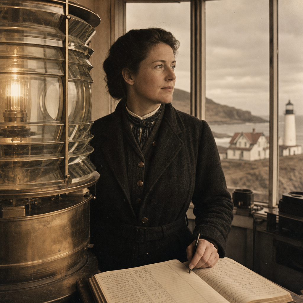
Marta Sivertsen · 1926–1941
Sivertsen balanced station duties with correspondence lessons for coastal children, folding weather remarks into each lesson so reading and seamanship grew together.
59°03'N · North Reach Tower
“Children learned their vowels by lamp smoke and tide tables, and they learned quickly.”
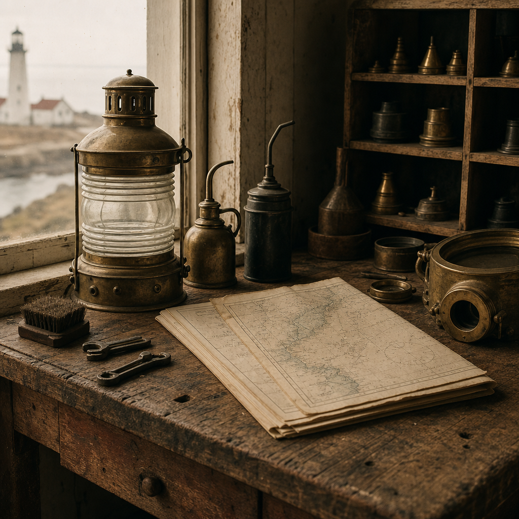
Jonas Røed · 1950–1963
Røed’s journals describe repairing cracked glazing after spring storms, then reopening the beam before noon to keep coastal freighters on a reliable night route.
58°52'N · Skerry Channel
“You mend first, rest later; the coast does not pause for a tired keeper.”
Archive photographs continue below
Archive Gallery
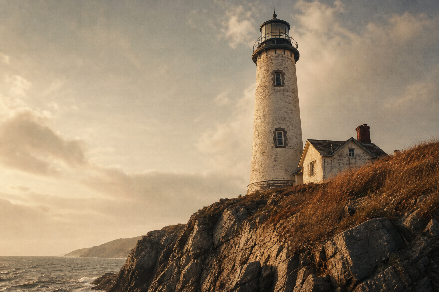
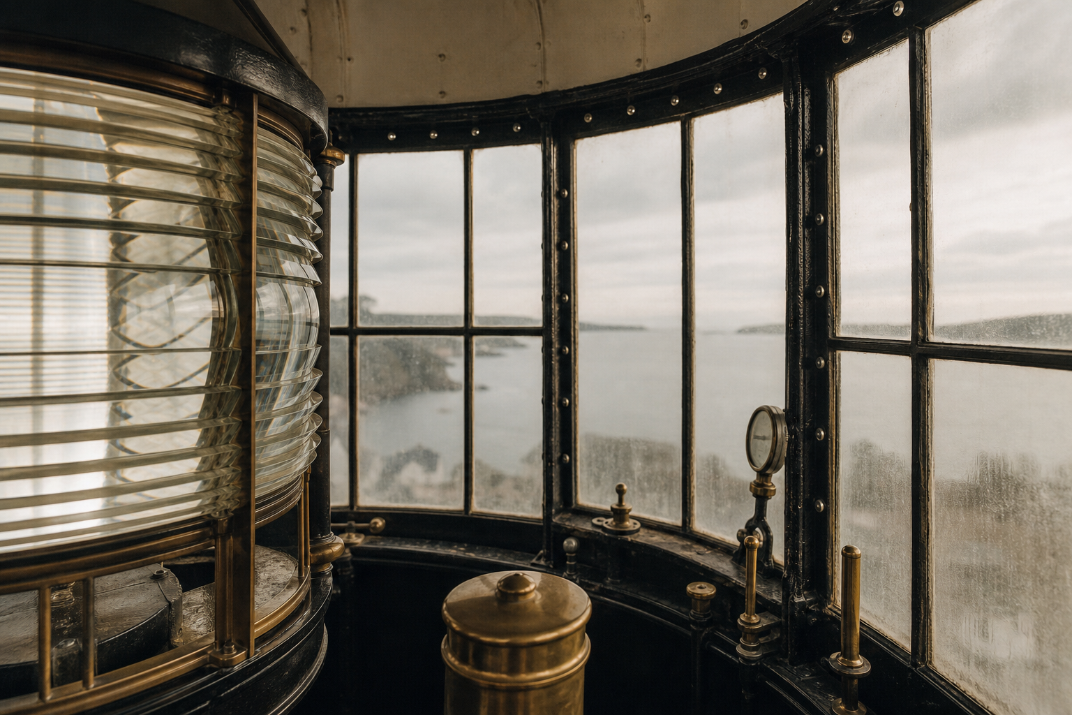
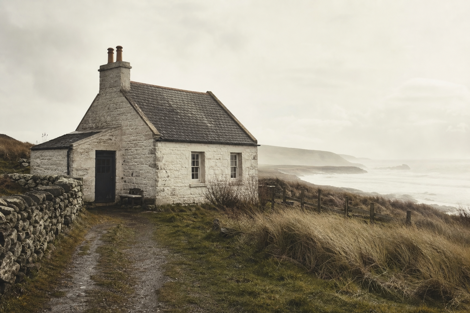
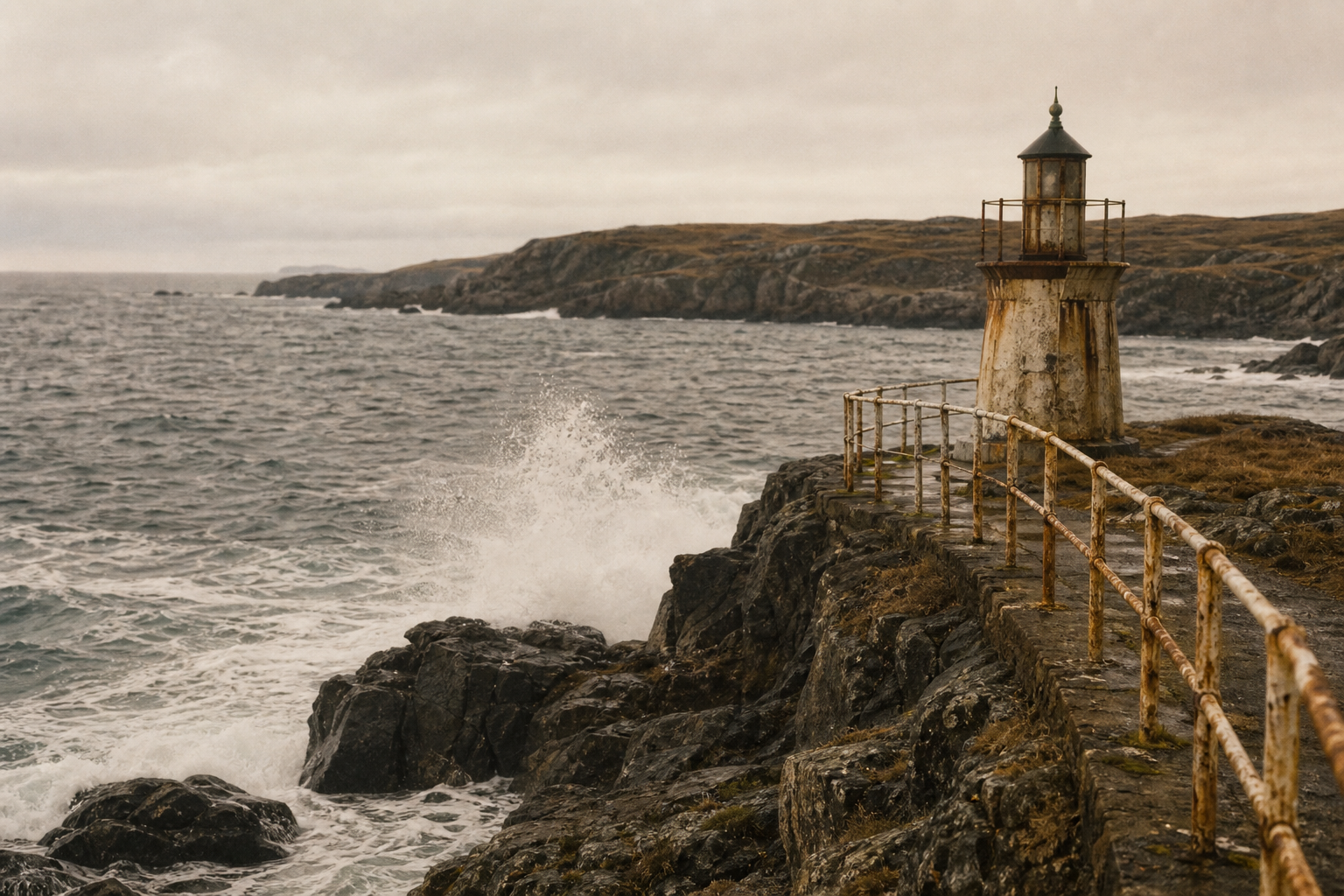
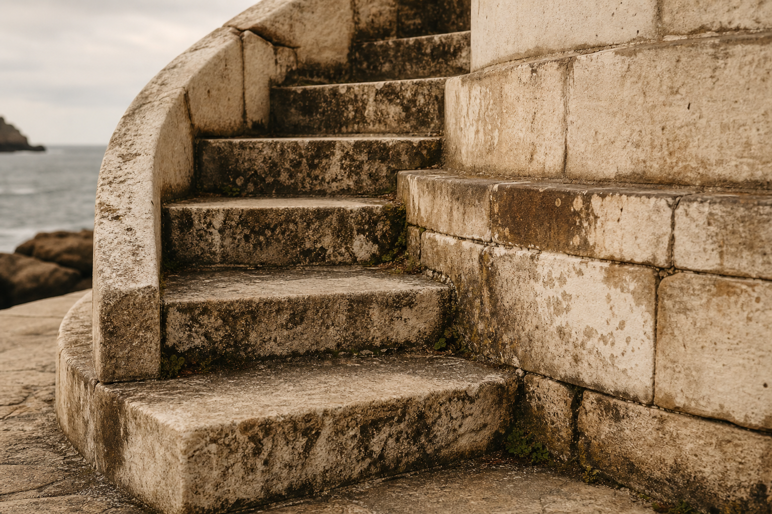
A visual survey of surviving lighthouse traces along the northern coast.
Preserved Towers Guide
Trace surviving northern coast lights at a glance, then pair each marker with a short site note for planning and context.
Visiting Notes
These quick notes help with trip planning while honoring working coastlines, fragile structures, and local stewardship.
From keeper journals to surviving towers, each record keeps the shoreline legible for the next generation of visitors, students, and stewards.
Return to the map